
 This update introduces cool new features for the map generator and more options for map authors. Full changelog can be found here: » Changelog
Placable Steppe, Swamp and Forest Soil

Please note this is purely optional. Creating maps ‘the old way’ without any substance map still works the same as before.
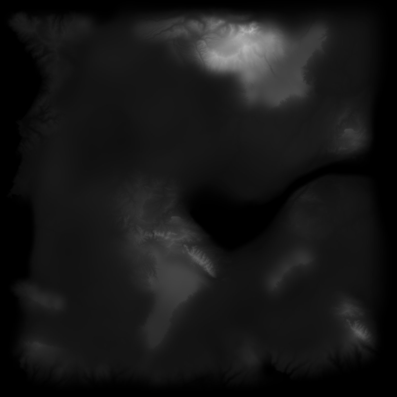
Forest Soil Algorithms & Beach Altitude
 Another requested feature was to configure the sand height at the coasts, which was fixed to 8 meters as yet. This new slider allows for setting the beach altitude from 2.5m all the way up to 20m for the most extreme beaches you’ve ever seen.
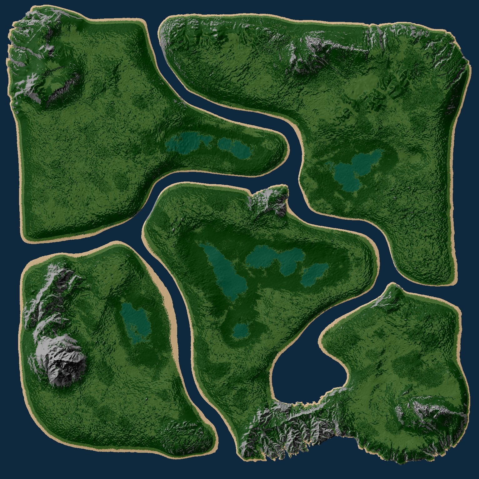
3 New Maps
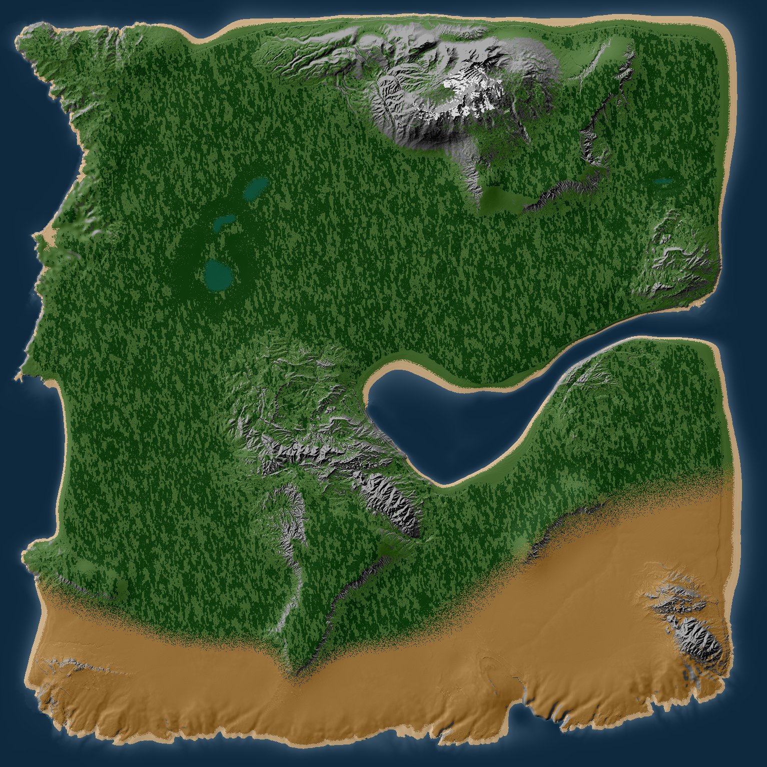

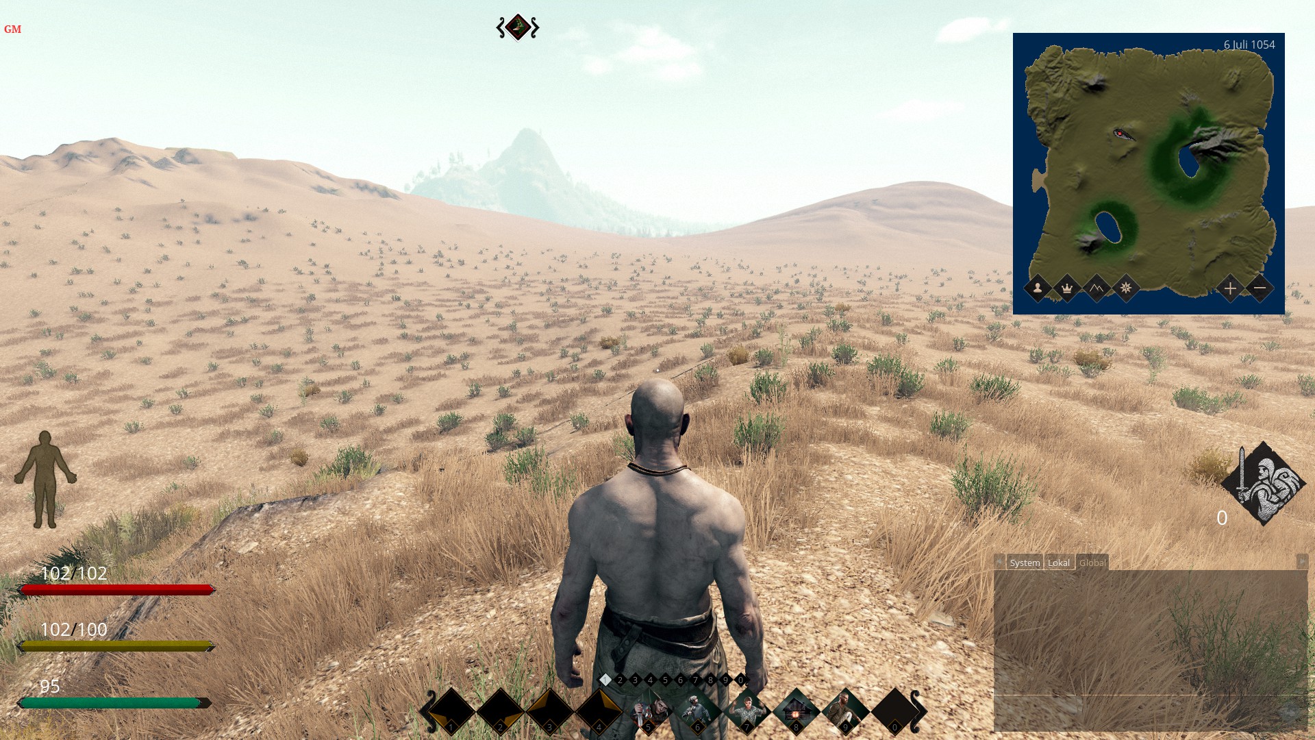
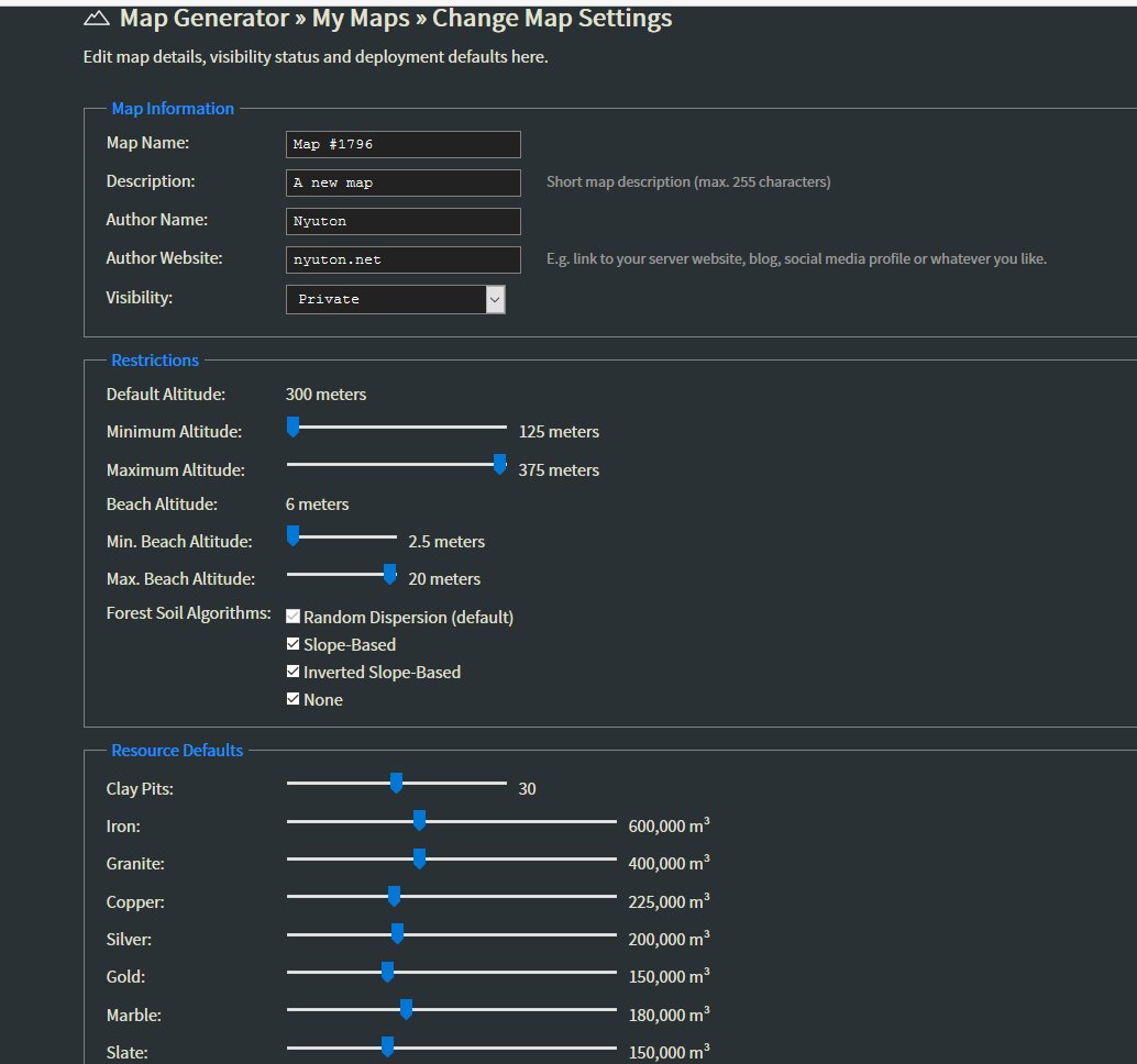 The publish/unpublish buttons were removed and replaced by a new settings page for uploaded maps. This page lets you change the map name, map visibility status, description and author details at any time. You can configure altitude restrictions, available forest soil algorithms and resource defaults as well. Now why is this important? There are some great creations on the public list, but some of them just won’t work at too high or too low altitude settings. I ran into this issue myself with the new maps. Some of them won’t work at all when extreme altitude settings are used. Other maps like Himalaya or Riverside work fine – even at 100 or all the way up to an altitude of 500 they’d be okay. So I decided to let everyone choose the valid altitude and beach range for their maps themselves. I have also adjusted the restrictions for all official maps accordingly.
Heightmap File Analysis
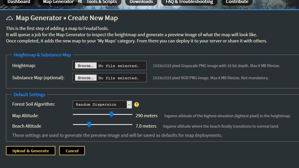
When people upload new heightmaps to Feudal Tools, there’s an almost indefinite number of things that might go wrong. Some of them are already handled the moment a new file is uploaded. The site checks filetype, filesize and image dimensions before a job gets queued. Then checks number of unique colors and expected amount of landmass as a first step of the process and rejects bad quality material. However, this appeared to be not enough.
 The job result page for mapgenerator jobs was updated to list all relevant data about the heightmap file provided. That is:
- PNG image type, should be Grayscale.
- Image bit depth, should be 16 bit.
- Amount of unique shades, should be > 1000.
- Altitude settings and forest algorithm used
- Amount of tiles for each substance type: Soil (incl. forest), Sand, Rock and Water
This should hopefully help map authors to trace down issues with bit depth and/or low quality.